Links
SILO climate data
SILO is the data source for Australian CliMate.
SILO is an enhanced climate database hosted by the Queensland Governments's Department of Science, Information Technology and Innovation (DSITI). SILO contains data from 1889 to yesterday in ready-to-use formats.
The Long paddock
Long Paddock is a product of the Drought and Climate Adaptation Program (DCAP) initiative including the Queensland Drought Mitigation Centre.
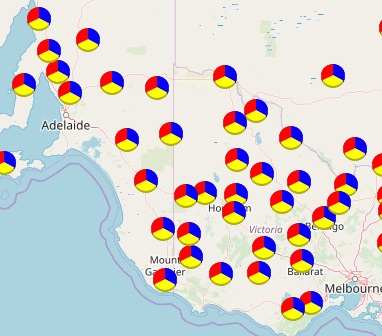
Rainfall history analysis -south
Climate drivers (El Nino-Southern Oscillation and Indian Ocean Dipole) for southern Australia.
Regional weather and climate guides
Regional data on likelihood, severity and duration of key weather variables
Climate and weather (BoM)
A collection of Bureau of Meteorology information
Water and Land (BoM)
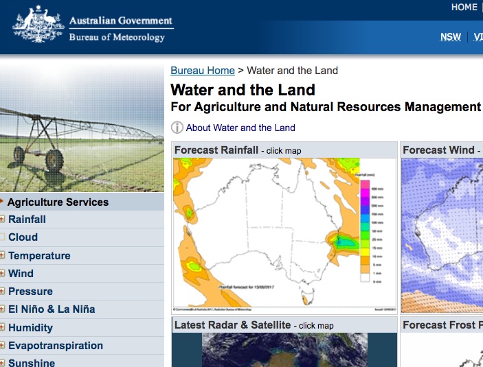
The Bureau's Water and the Land web site aims to provide an integrated suite of information for people involved in primary production, natural resource management, industry, trade and commerce.
Drought info (BoM)
Bureau of Meteorology drought links
Agriculture Victoria - weather and climate
Victorian grain growers can access seasonal climate risk information in one easy location. Newsletters describes seasonal outlooks, decision support tools estimate soil water and potential crop yields, and provide links and topical climate risk information.
CottonInfo
CottonInfo issues an e-newsletter on a topic important to cotton growers - from weather to water management and energy use efficiency, to biosecurity and stewardship
DPIRD (WA) DSS tools
The Department of Primary Industries and Regional Development, Western Australia provides easy access for decision making.
World wind animation
A bird eye view of what is happening across our globe.
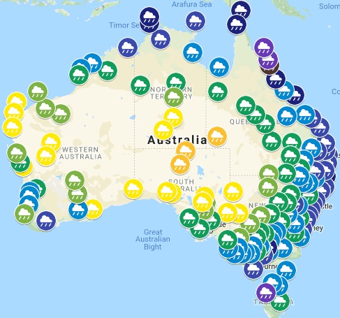
100 Years of Australian Rainfall
A set of simple national climate descriptions prepared by CleverClicks for Bushman Tanks using data from the Bureau of Meteorology.
